 24 April 2024
•
2 min read
24 April 2024
•
2 min read


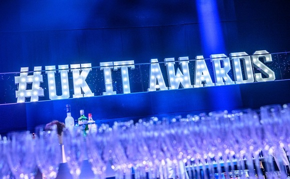
The UK IT Industry Awards honor those shaping the future of IT, our industry, and digital society.
The Cybersecurity Festival returns on 2 May 2024!

This free exclusive event for senior IT professionals returns to London on 18 September.
Deadline for entries: 14 June 2024
Celebrating pioneering women in technology, inspiring younger generations to join our industry.